Indian geospatial data industry gets a policy boost
As India steps into 2023, the country now has a National Geospatial Policy 2022, a 13-year guideline, which aims to promote the country's geospatial data industry and develop a national framework to use such data for improving citizen services.
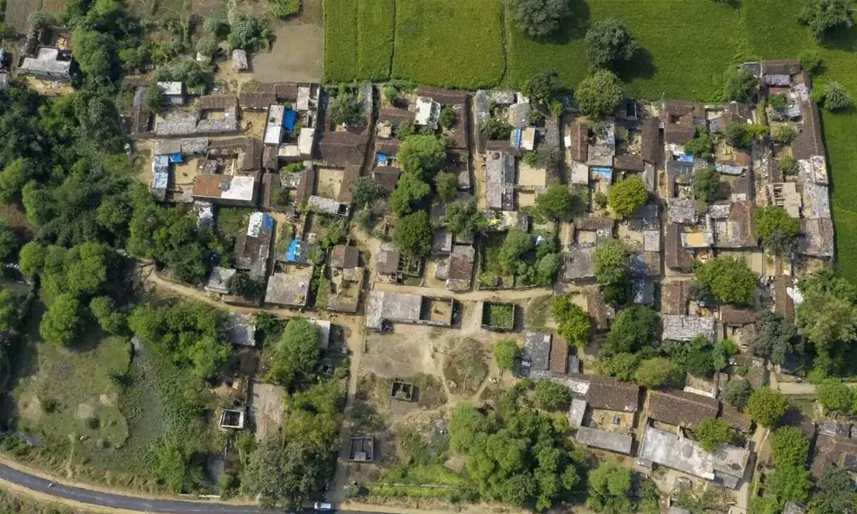
image for illustrative purpose

As India steps into 2023, the country now has a National Geospatial Policy 2022, a 13-year guideline, which aims to promote the country's geospatial data industry and develop a national framework to use such data for improving citizen services. After liberalising the use of geospatial data under the draft geospatial data policy in February last year, the Ministry of Science and Technology last week had notified the National Geospatial Policy, 2022. The policy has divided into 14 geospatial data themes to support the development of commercial geospatial applications in various sectors including disaster management, mining, forestry and the likes. The policy received a nod from the Union Cabinet on December 16, 2022, and is now applicable with immediate effect.
It promises to bring out a high-resolution topographical map covering every inch of the country by 2030 and fashion a digital twin of India's major cities and towns by 2035. The technology has applications in almost every domain of the economy ranging from agriculture to industries, development of urban or rural infrastructure, land administration, disaster planning, etc.
It is pertinent to mention here that Genesys International Corporation, has already been collaborating with Bentley to launch 3D digital twin solution, partnering with the Andhra Pradesh government to conduct digitalization of land titling records and spearheading post-disaster rehabilitation after the Kedarnath floods. It is one of the first Indian companies to perform street imaging of all major cities that partnered with Google to relaunch street view in India and currently has India's largest fleet of sensor for acquiring terrestrial, oblique and aerial imagery.
And now following the adoption of the national policy, by 2025, the Centre will seek to put in place a legal framework that supports liberalisation of the geospatial sector, and democratisation of data for enhanced commercialisation with value added services. The government will also look to improve availability and access of 'better location data' for companies, including private organisations, by 2025. Then it will look to establish an Integrated Data and Information Framework, under which a Geospatial Knowledge Infrastructure (GKI) will be developed by 2030. And by 2035, goals of usage of geospatial data will include mapping of sub-surface infrastructure in major cities and towns across India, and development of high resolution, accurate bathymetric geospatial data (resources and economy of inland waters, and sea surface topography of shallow and deep seas) to support India's 'Blue Economy'.
A Geospatial Data Promotion and Development Committee (GDPDC) will also be constituted for formulating and implementing guidelines, strategies, and programs for the promotion of activities related to the geospatial sector.
Globally, the geospatial market is worth $17 billion and the space economy is worth $55 billion. India presently does not have enough commercial businesses to capture a significant pie of this industry - which the National Geospatial Policy, 2022, can help develop. The policy can actually help Indian companies pursue commercial projects across sectors. Quite significantly, the new policy also promises to enable and support innovation, creation and incubation of ideas and startup initiatives in the geospatial sector.

